|
Yemen’s Houthi Rebels Capture Mayun Island in Bab el-Mandeb Strait
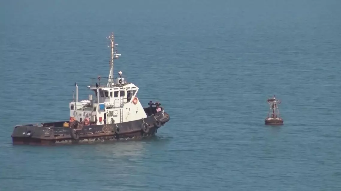
Yemen’s Iranian-backed Houthi rebels have recently captured Mayun Island in the Bab el-Mandeb Strait at the entrance to the Red Sea. The development highlights the island’s strategic location near the strait’s narrowest point and its relevance to shipping routes through the Red Sea.
Mayun Island and Bab el-Mandeb Strait:
| Dimension | Key Details |
|---|---|
| Alternative name | Mayun Island is also known as Perim Island. |
| Country affiliation | Mayun Island belongs to Yemen. |
| Location | Mayun Island is located in the Bab el-Mandeb Strait, at the southern entrance to the Red Sea. |
| Island type and size | Mayun Island is a small volcanic island with an area of 13 sq.km. |
| Relief and elevation | The island is rocky and rises as high as 65 m. |
| Strait geometry | The island overlooks the strait near its narrowest point, about 26 km wide. |
| Effect on the strait | Perim Island splits the Bab el-Mandeb Strait into two smaller channels. |
| Strategic relevance via Suez Canal | The island’s importance grows with the advent of the Suez Canal, which connects the Mediterranean Sea and the Arabian Sea through the Red Sea and allows global shipping routes to bypass the lengthy route around Africa. |
| Command over channels | Perim Island’s position within the strait gives its occupier command over the eastern channel and a measure of control over its western channel. |
| Harbour and airfield | The island has a deep and large natural harbor on its southwestern side and a military airfield in the north. |
| British control timeline | The British seize the island in 1857 and establish a coaling station; the coaling station later goes bankrupt in 1935; Perim Island remains part of the British Empire from 1857 to 1967. |
| Status in Yemen | Perim Island becomes part of independent Yemen (Aden) in 1967. |